The Map System section of the EarthWorX Configuration Ribbon allows you to select which database your maps are being provided through. The Map System provides the user with 4 different options of map systems: Bing (default), Esri, Google, and OGC/WMS. Each option is described below along with options available for each system. For more information about the unique map types available for each system, please see Map Type.
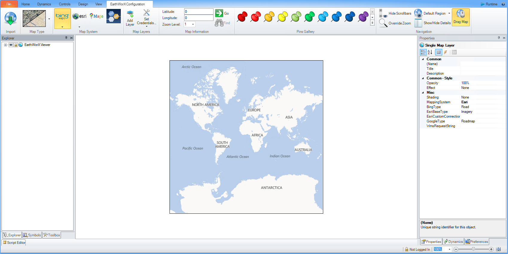
Selecting the ![]() icon will by default transform the selected region into a Bing Road map (No Shade).
icon will by default transform the selected region into a Bing Road map (No Shade).
Selecting the arrow below the icon offers the user a dropdown menu with 2 options:
Use the Bing Tile System - EarthWorX uses your Bing Maps Developer account for mapping. This option is available only after you have provided valid credentials using the Setup Connection option in the Map Layers section.
Use Demo Tile System - EarthWorX uses a free, account-less demonstration system for mapping. Some mapping features are not available with this option.
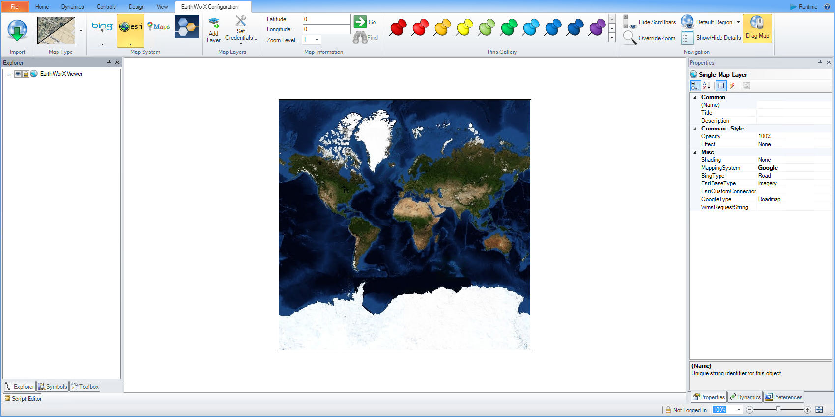
Selecting the ![]() icon will by default transform the selected region into an Esri Imagery map. The Esri network has access to 7 types of maps: Imagery (default setting), World Boundaries and Places, Streets, Topographic, Light Gray Canvas, National Geographic, Oceans, as well Custom tile sources available for download through the Esri database. Esri maps are can also be customized by Map Type.
icon will by default transform the selected region into an Esri Imagery map. The Esri network has access to 7 types of maps: Imagery (default setting), World Boundaries and Places, Streets, Topographic, Light Gray Canvas, National Geographic, Oceans, as well Custom tile sources available for download through the Esri database. Esri maps are can also be customized by Map Type.
Selecting the arrow below the icon offers the user a dropdown menu with 2 options:
Custom Esri Maps - Allows the user to toggle between Custom Esri Maps and Default Esri maps. Custom Esri Maps can only be accessed if the user is logged into the Esri network by setting Esri credentials or by logging in through the Esri website. By selecting this option, 6 Map Types will become available to the user as well as a Custom Tile Source which allows the user to directly access custom Esri and ArcGIS maps through the Esri database.
Default Esri Maps - Allows the user to toggle between Custom Esri Maps and Default Esri maps. This default setting allows the user to access the 6 preloaded Esri Map Types.
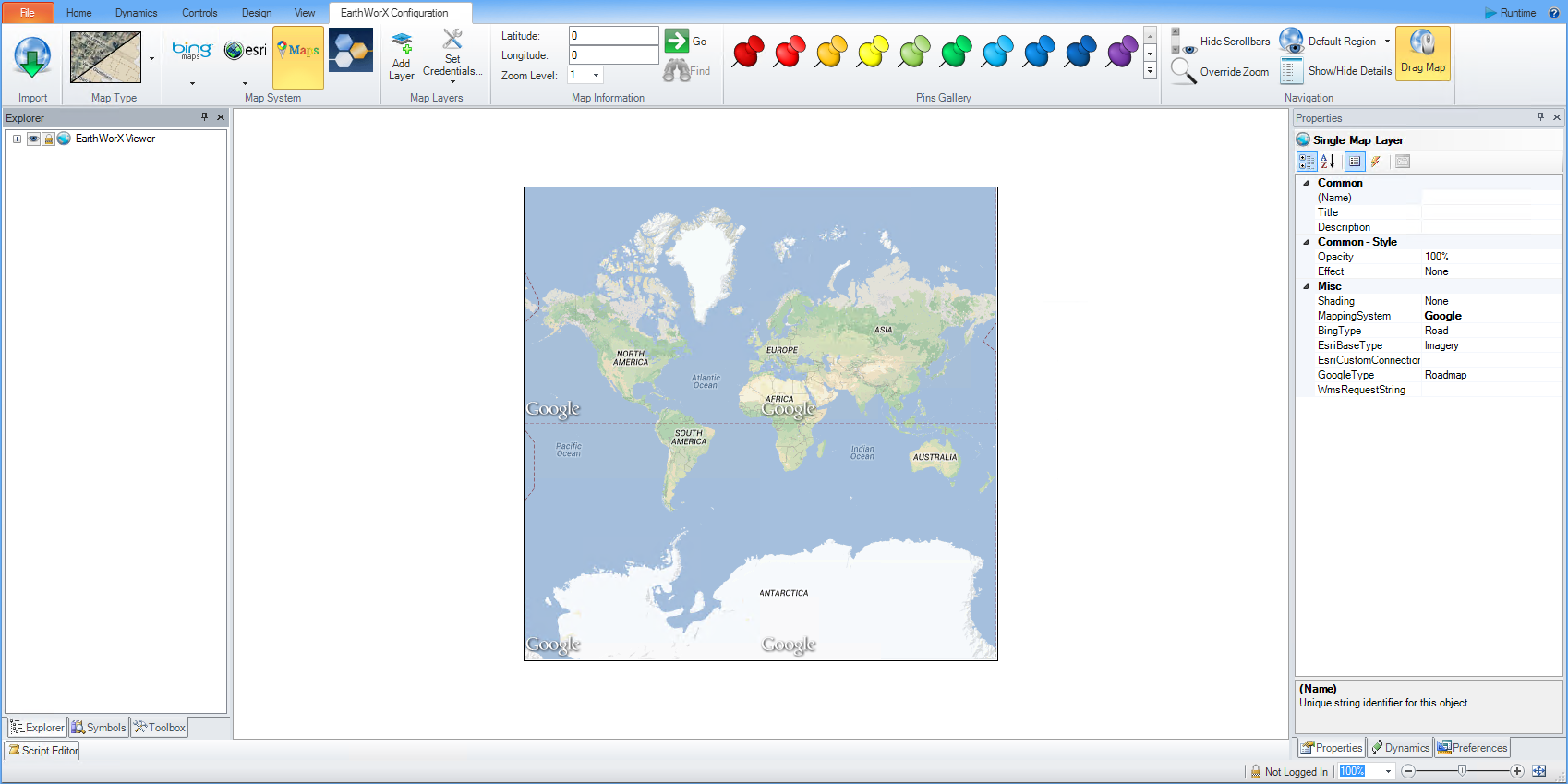
Selecting the ![]() icon will by default transform the selected region into a Google map.
icon will by default transform the selected region into a Google map.
Selecting the ![]() icon will not automatically alter the map. A user will need to initiate an OGC/WMS connection first. If OGC/WMS credentials have already been set, the user will have access to all OGC/WMS options and maps.
icon will not automatically alter the map. A user will need to initiate an OGC/WMS connection first. If OGC/WMS credentials have already been set, the user will have access to all OGC/WMS options and maps.
See Also:
EarthWorX Configuration Ribbon
Import Button on the EarthWorX Ribbon
Map Type Section on the EarthWorX Configuration Ribbon
Map Information Section on the EarthWorX Ribbon
Pins Gallery Section of the EarthWorX Ribbon
Navigation Section on the EarthWorX Ribbon