|
|
The features on this page require a GENESIS64 Advanced license and are not available with GENESIS64 Basic SCADA . |

![]()
|
|
The features on this page require a GENESIS64 Advanced license and are not available with GENESIS64 Basic SCADA . |
![]()
The Map Type section on the EarthWorX ribbon lets you determine how the map displays. Options are described below. This option can also be set using the EarthWorX Viewer's Type property. (For more about the EarthWorX Viewer's properties, see EarthWorX Viewer Properties.)
Road - Shows a drawn map with roads, with or without terrain elevations. Options are:
No Shade - Shows a flat, drawn map of roads.
Hills Shade - Shows a drawn map of roads, and elevations are indicated using shadowing.
The Road option can also be set using the EarthWorX Viewer's Shading property.
Hybrid - Shows the map in the form of a satellite photograph; streets and features are labelled.
Aerial - Shows the map in the form of a satellite photograph with no labels.
The following examples show Genoa, Italy, at zoom level 12 displayed in each of the four map types.
|
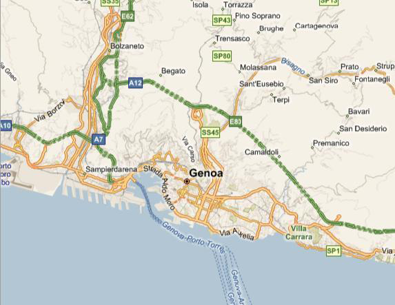
Road - No Shade:
|
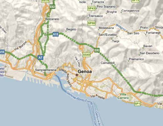
Road - Hills Shade:
|
|
Hybrid:
|
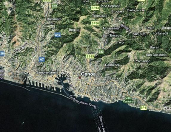
Aerial:
|
See Also:
EarthWorX Configuration Ribbon
Import Button on the EarthWorX Ribbon
Map Information Section on the EarthWorX Ribbon
Navigation Section on the EarthWorX Ribbon
Pins Gallery Section of the EarthWorX Ribbon