|
|
The features on this page require a GENESIS64 Advanced license and are not available with GENESIS64 Basic SCADA . |

![]()
|
|
The features on this page require a GENESIS64 Advanced license and are not available with GENESIS64 Basic SCADA . |
![]()
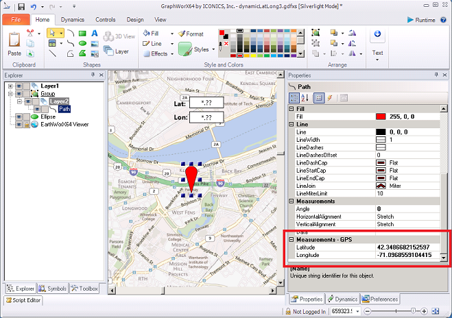
GENESIS64 (via its GraphWorX64 and EarthWorX components) has been enhanced to allow the Latitude and Longitude properties of graphical objects to be bound to runtime data sources (tags).
The feature assumes that the “tags” used provide data as GPS coordinate values, specifically:
Latitude tag should provide values between -90 to 90
Longitude tag should provide values between -180 to 180
Any value outside of this range will be automatically clamped to the high or low limit of the range.
GPS Coordinates Entered into Measurements-GPS Properties Field
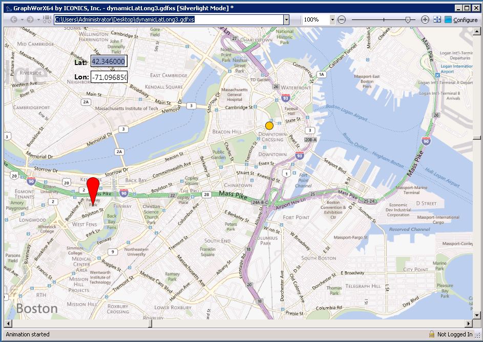
An Example of Using GPS Coordinates in Runtime Mode
See Also: